

Know how much of a crop is being grown, near real-time, at scale
Accurate forecasts of crop production and other agridata indicators for emerging markets
Fieldy combines satellites, machine learning and unique ground data to make reliable predictions and enable informal market’s integration into global agricultural chains. We provide:
National level crop acreage
Weekly field level crop progress and analysis
Weather forecasts
Basic monthly field monitoring for free
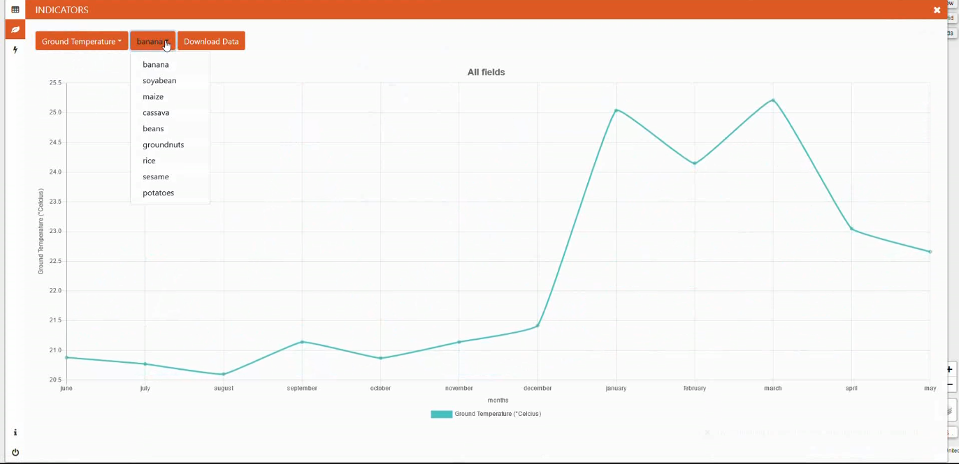
Take a look at our browser-based platform
FAQs
How do you do this?
Satellites, cloud computing, machine learning algorithms and ground-truthing data. Our algorithms for crop acreage keep improving as we gather more data and refine our methods.
Where do you provide this service?
Currently we’re focusing on Sub Saharan Africa. We do provide the service for other geographies for larger amounts of fields.
How can I access your products?
Via our web portal or API.
Can I integrate it into my product/service/app?
Yes, you can! The data is useful in a multitude of avenues, such as procurement planning, farming extension work, credit scoring, supply chain building.
Free basic monitoring?
Yep, we provide monthly field monitoring indicators for free and will continue to do so.
We generate revenue from macro level crop forecasts and more in-depth higher frequency field monitoring. We want to fill the gap in market supply data.
What GPS data do you need for field monitoring?
A field outline will yield the highest accuracy. If you cannot get that, a GPS point in the centre of the field can be used.
Do you sell our field data?
No. We only use field data as input for our machine learning models; we never sell it.
What about farmer privacy?
We do not collect, need or want any sensitive data like farmer name or phone number on our system. That data stays with you. The data we generate is derived from satellite imagery recorded by the European Space Agency and is already in the public domain.
Can I use this data for farmer advice?
Assess the reliability yourself for the local context. If you’re happy with it, feel free.
How do I sign up?
Fill out the below form and we’ll be in touch.
What do I need to sign up for field monitoring?
Field GPS data (border outline is preferred).
Crop type
Date of data collection


